

Premium payloads, affordable pricing.
Services
-
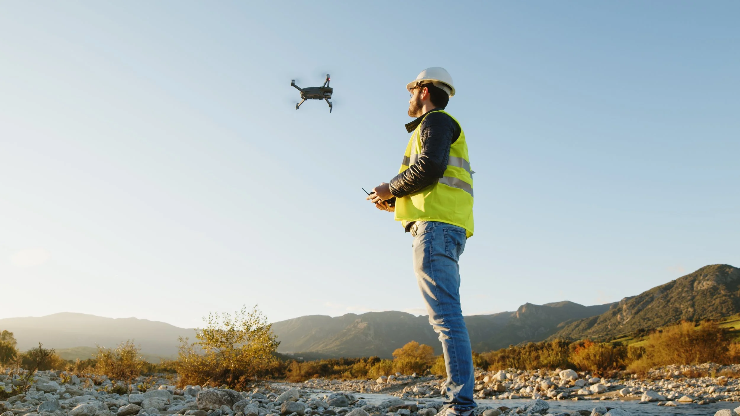
Aquatic
Collect detailed data on water quality without disturbing the ecosystem, covering large areas quickly and efficiently.

-
Renewables
Inspect and monitor wind turbines and solar panels, identifying maintenance needs through high-res imagery, LiDAR and thermal imaging.

-
Survey
From construction and mining to agriculture and urban planning, generate detailed RGB and 3D terrain analyses.
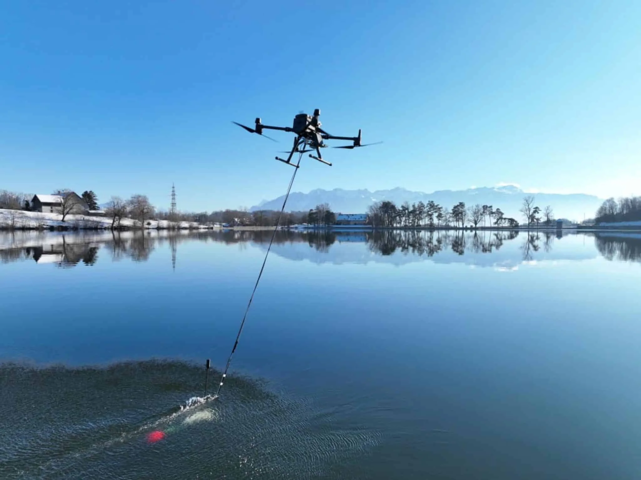
Aquatic— Water management
Remote sense + sample
Sample specific locations and depths, or carry out airborne bathymetry to map water depth and sediment.
Rapid analysis
Express data access and same-day water sample shipping with SimpleLab.

High-res imagery
High-resolution images capture granular detail across diverse payloads. Computer vision detects ordinance non-compliance with bespoke automated identification in post.

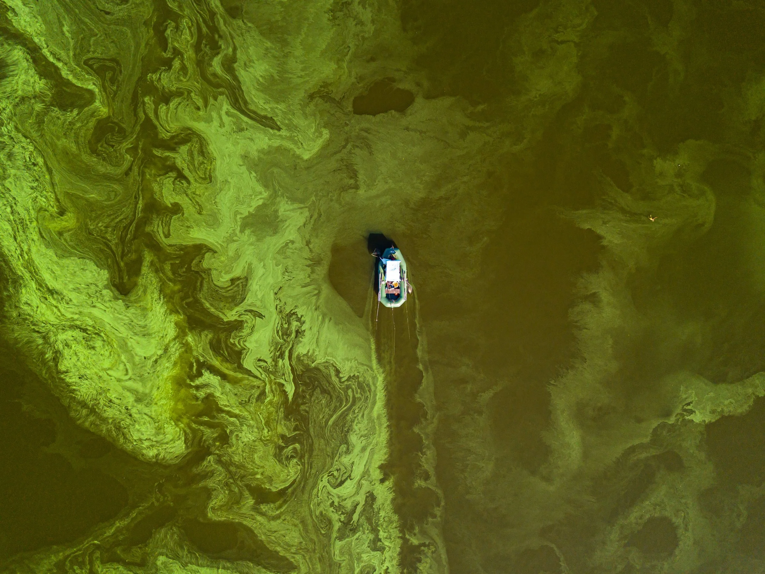
Algal blooms
Control dangerous algal blooms with EPA-approved algicides using spreading drones to restore aquatic ecosystem health across lakes and ponds in hours.
Renewables — Asset monitoring
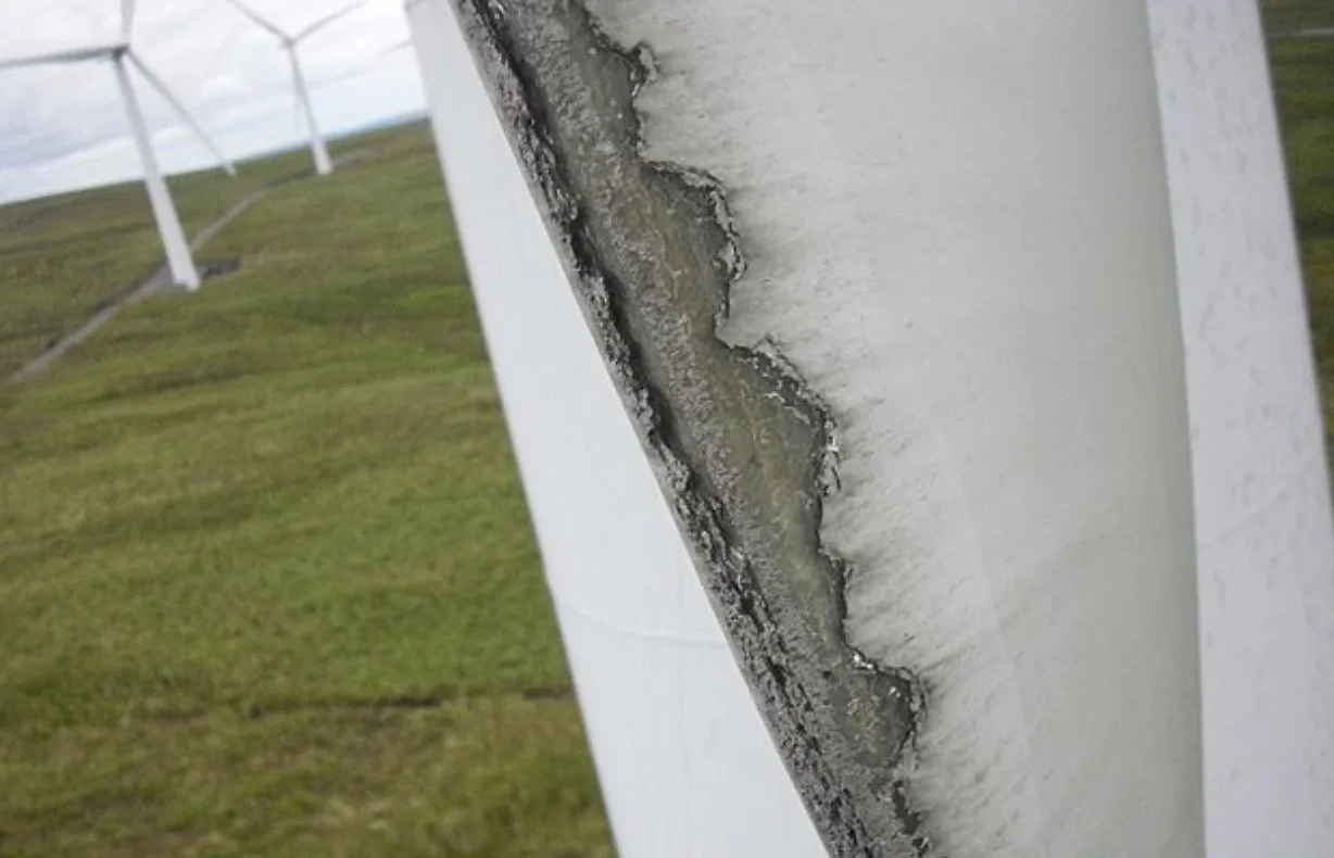
External blade inspection
Capture precise external blade conditions with autonomous flight, using integrated RGB+LiDAR payloads to record blade defects by type and severity.
Internal blade inspection
Crawler robotics permit inspection of the blade chambers, where reporting is automatically generated of both the external and internal blade conditions.

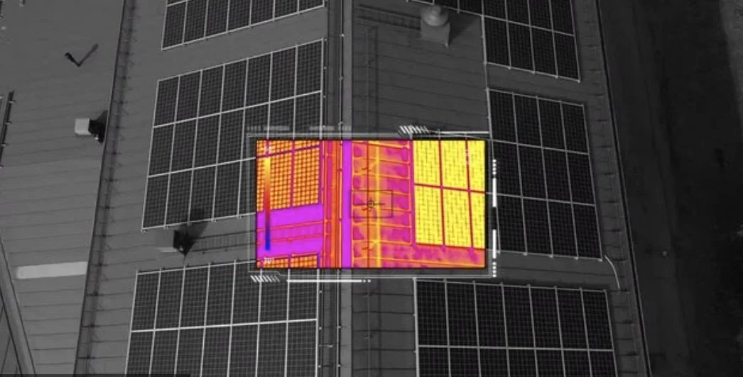
Solar
Detect anomalies using thermal imagery to log KPIs, automating repair requests, and benchmarking asset health.
Comprehensive reporting
Predict revenue loss for wind and solar based on defect overview with client dashboards, sorting by status, location, and severity.

Survey — Centimeter-level accuracy
Real-Time Kinematics (RTK)
Real-Time Kinematics enhances precision in location data, enabling pinpoint accuracy for aerial surveys and mapping, ensuring every detail is captured with the utmost precision.

Orthomosaics
Orthomosaics stitch together hundreds of aerial photographs into a single, seamless image, providing a comprehensive and detailed view of vast areas.

Aerial LiDAR
Aerial LiDAR penetrates vegetation to reveal the contours of the earth below, offering an unparalleled understanding of the terrain.

Rapid reporting
Transform aerial data into actionable insights in record time, streamlining the data analysis process across businesses and organizations.
